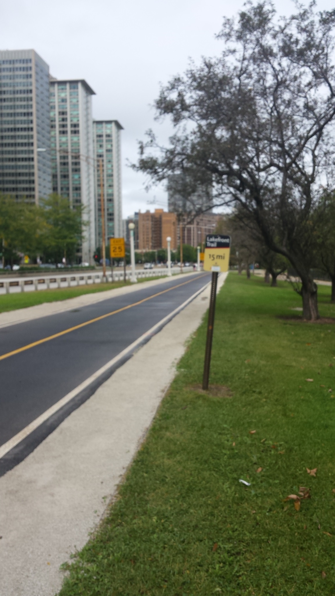
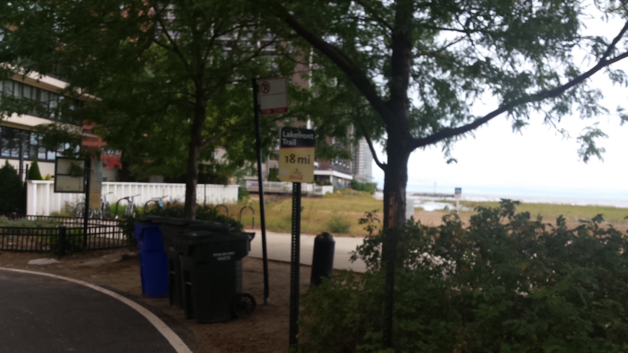
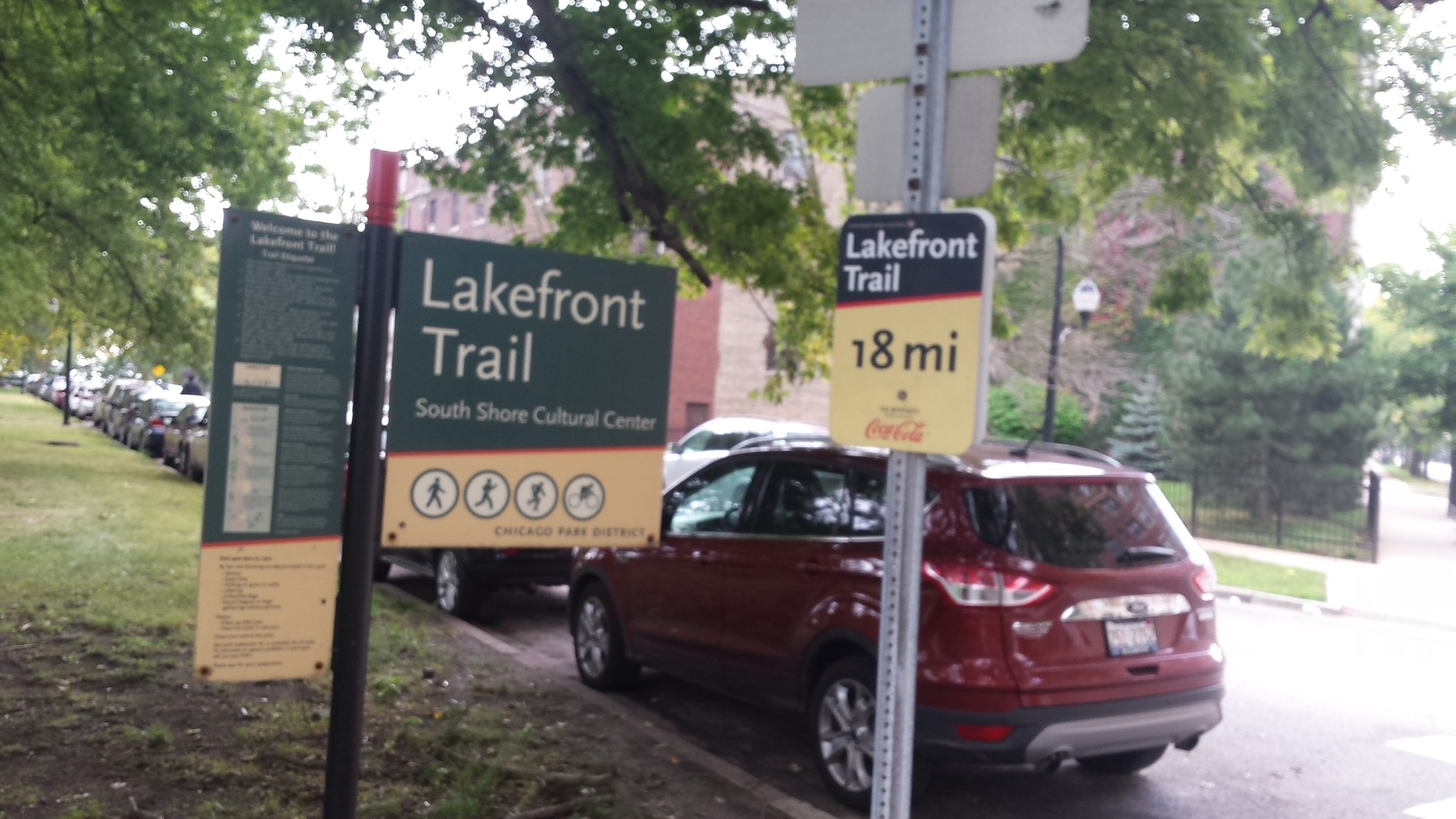
LAKEFRONT TRAIL
CHICAGO ILLINOIS
Chicago has this incredible thing called
the Lakefront Trail
(CLFT). It is
an 18 mile paved path that is sandwiched
between the Lake Michigan shore and
Chicagos iconic Lake Shore Drive
(LSD).
The northern entrance of the CLFT is at
the eastern end of Ardmore Street (just
east of Sheridan Road) in Edgewater.
The southern entrance is at 71st Street
where South Shore Drive
makes its
southward turn.
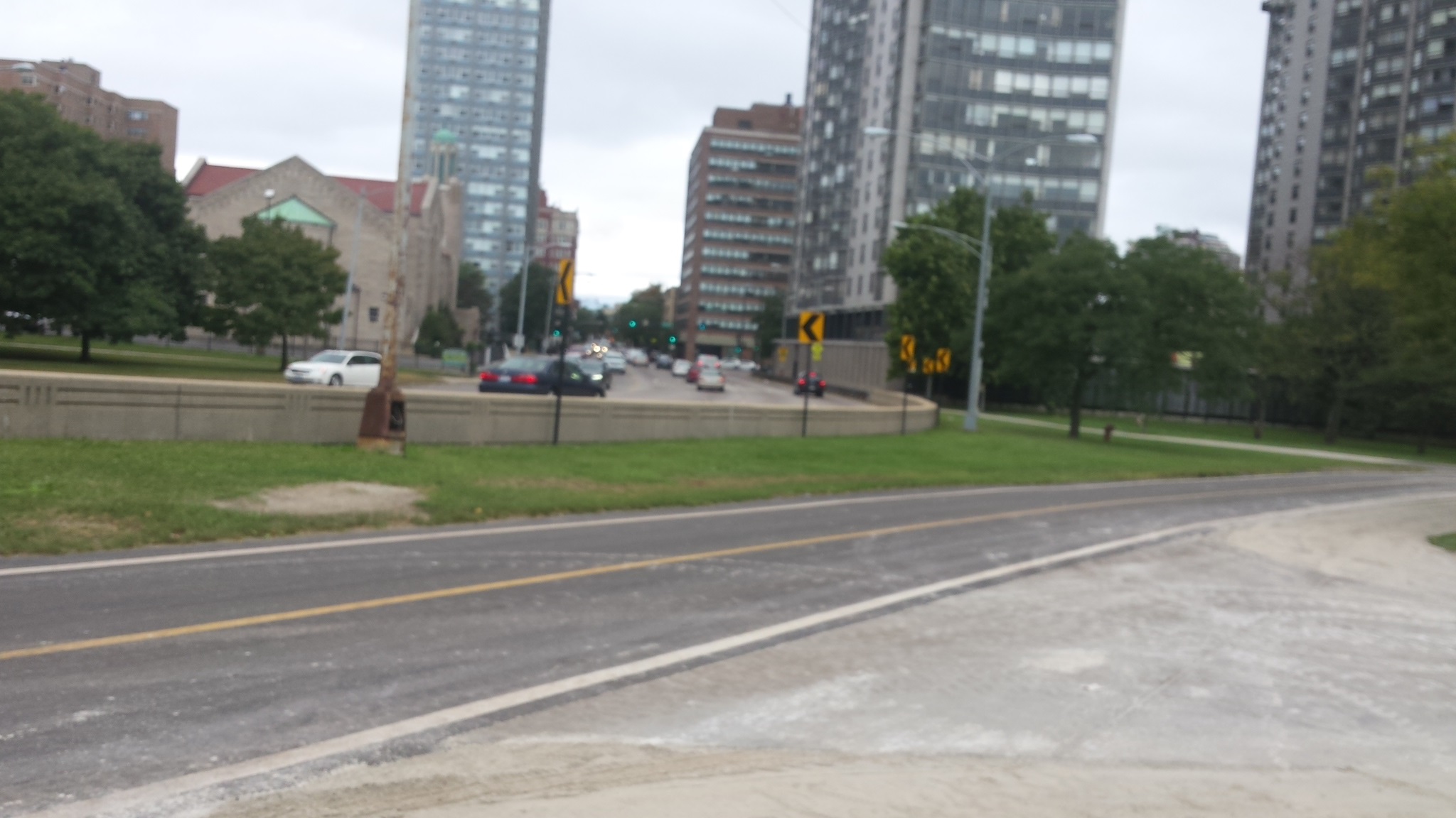
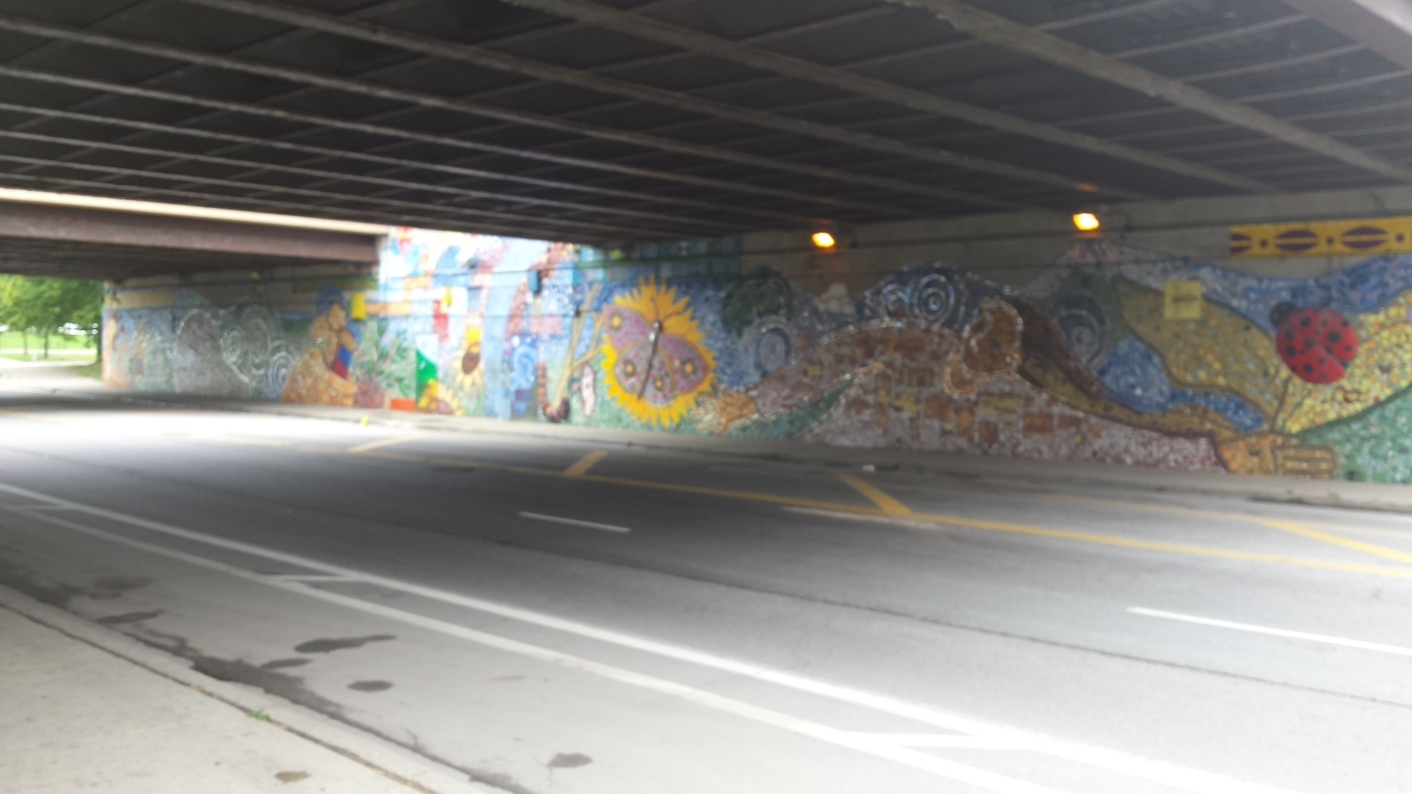
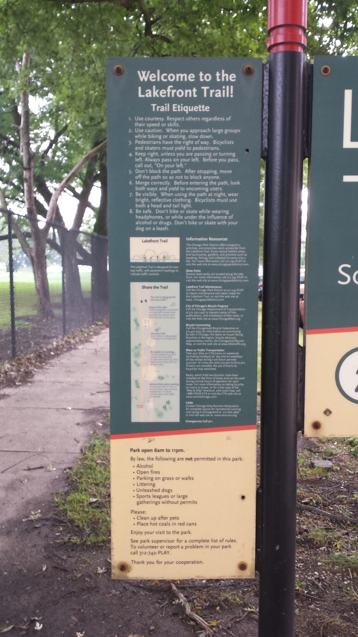
Along the way there are many points to access the CLFT from the communities it passes by. Many of these are simple crosswalks but there are pedestrian bridges or underpasses where LSD is wide or has heavy traffic conditions.
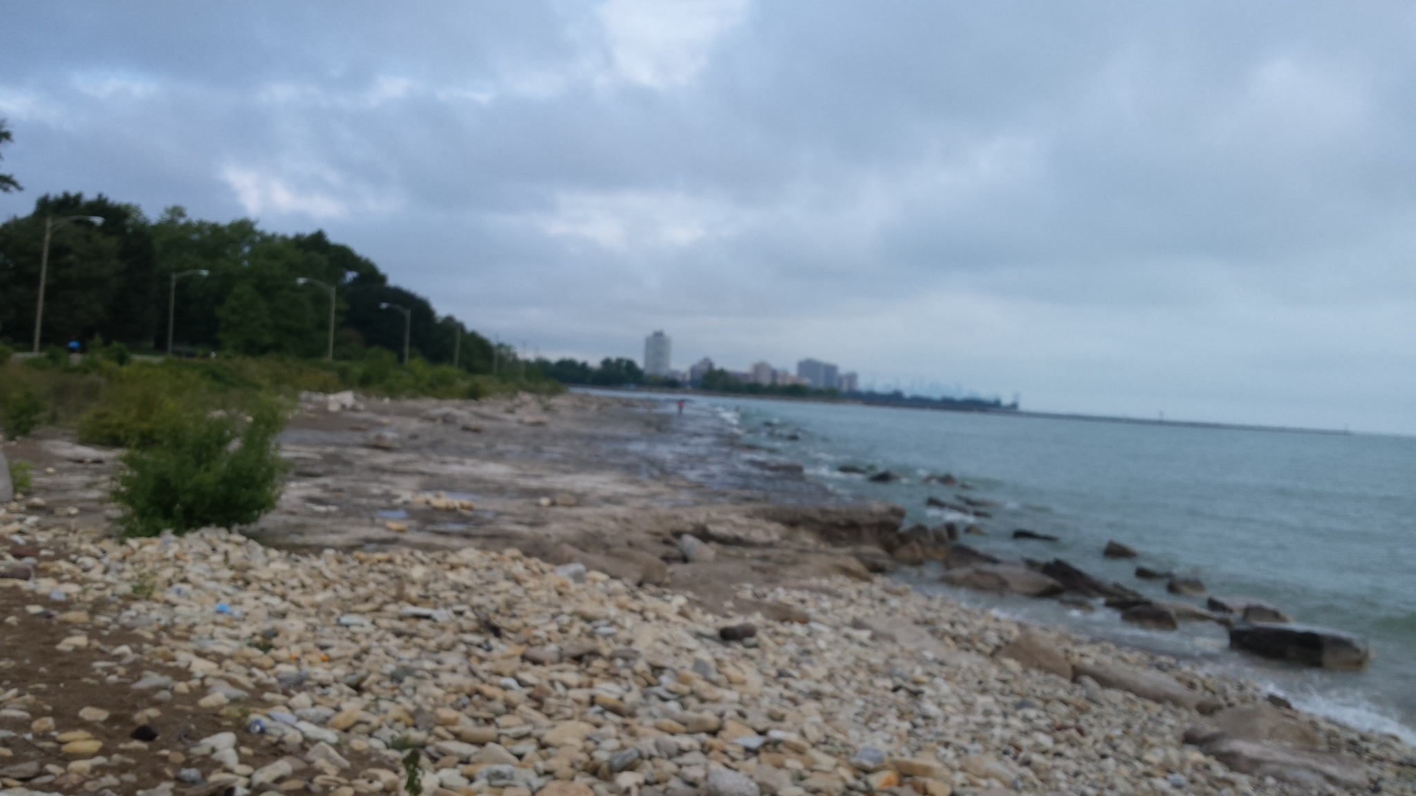
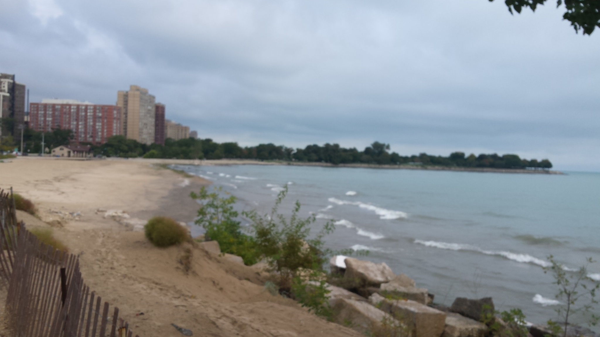
Much of the CLFT has no street crossings as it is right along the shore. However, there are some points such as harbor or park entry areas which do have crossings. In theory at least, pedestrians have the priority at most of these.
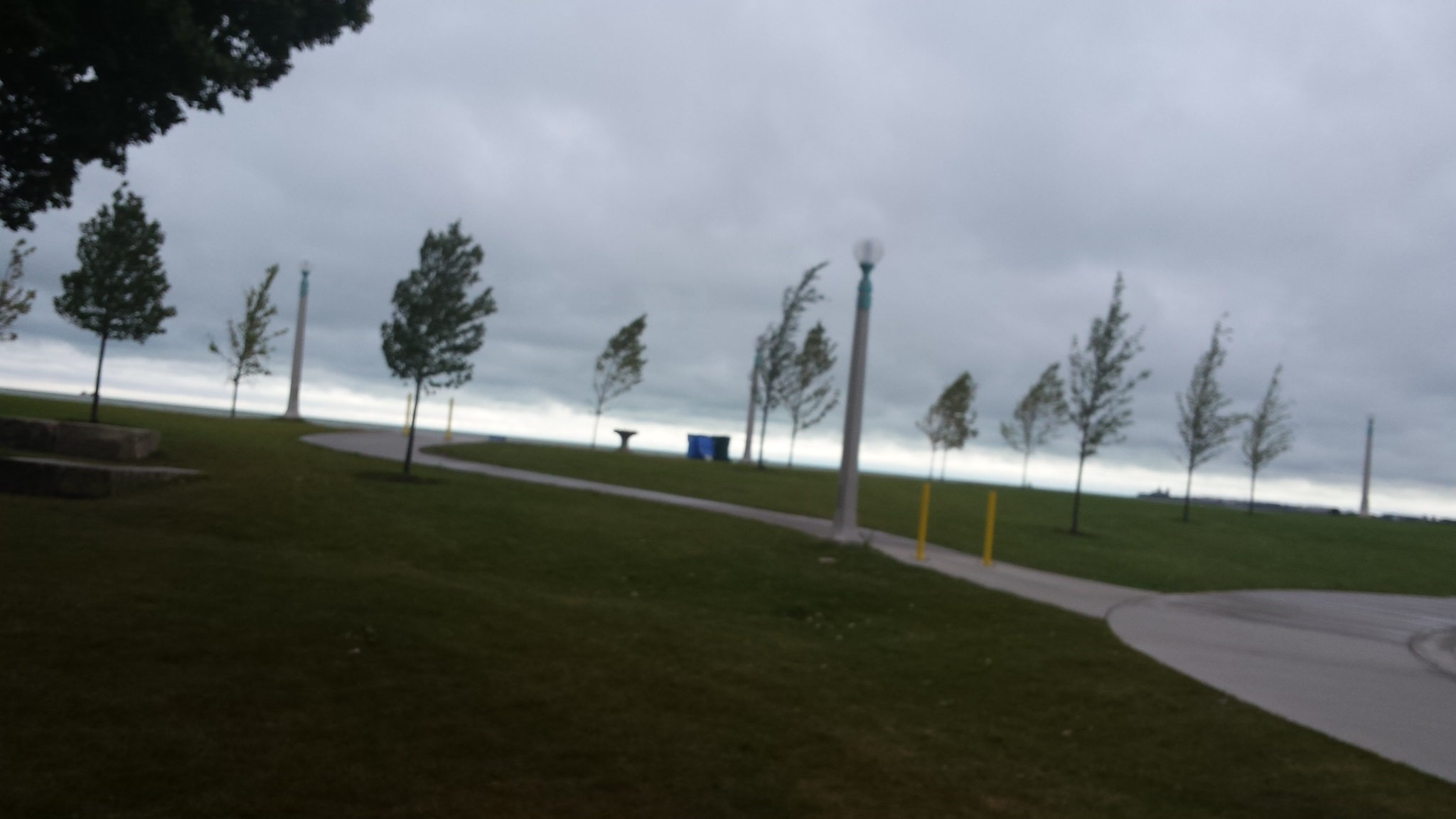
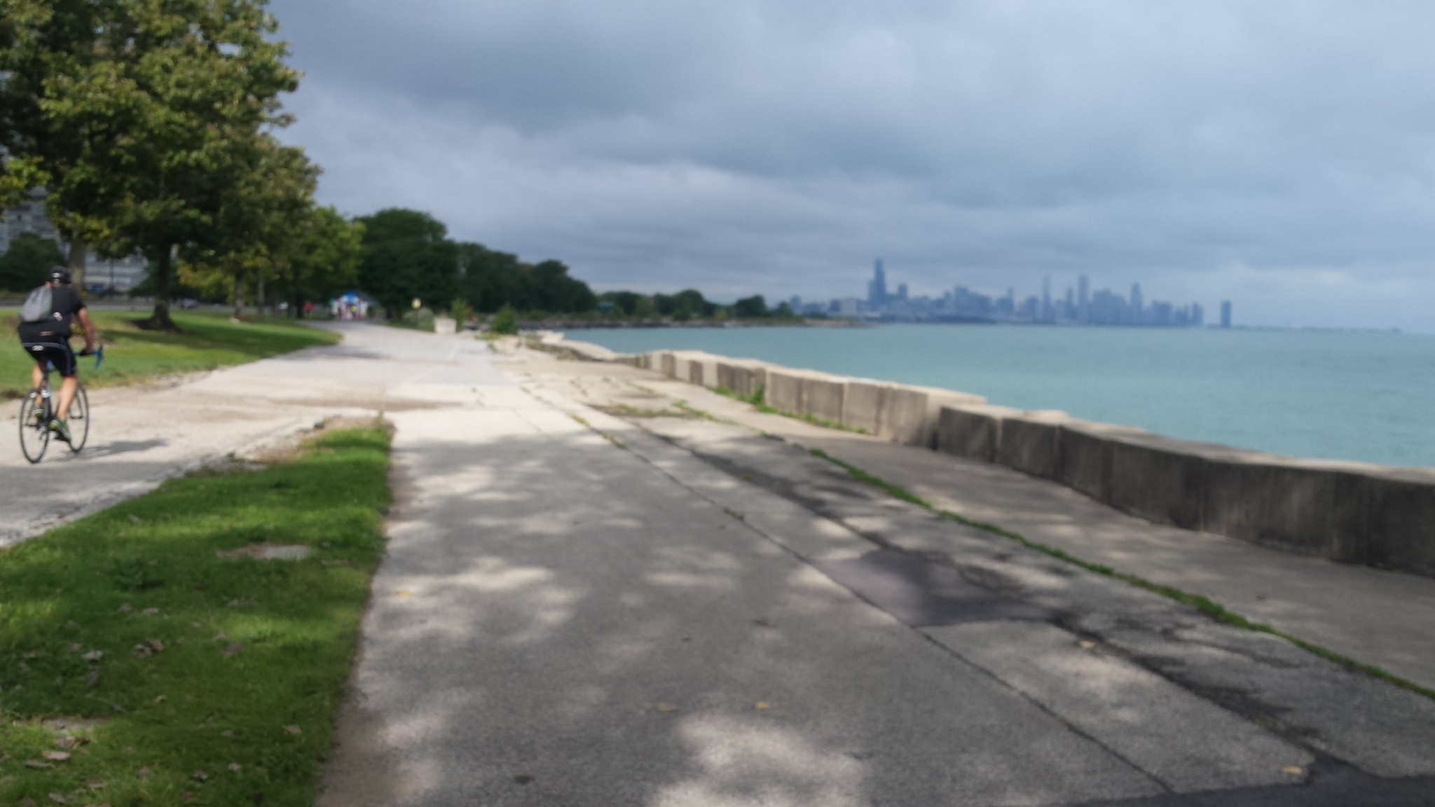
Not all of the CLFT is smooth. Some sections are very old and the concrete shows its age. While the entire trail is marked (painted lines on cement), some areas are well worn off. Even so, the trail as a whole is in very usable condition and there are several sections which have very recent improvements.
The CLFT is designed for pedestrian,
bicycle, and roller blade usage. All
can enjoy the trail better if everybody
shows some courtesy to others. There
are several bicycle rental places where
people can obtain pedal transportation
if they choose not to hoof it
.
My goal has been to walk the entire CLFT. This page details that goal being fufilled! Although I did it over a three day period, this was partly due to having other agendas during the weekend. It IS possible to walk the entire length, taking 6 hours at an average of 3 miles per hour. Adjust that for your own walking speed, number of rest breaks needed, and if you take any time to take in some of the numerous attractions along the way.
It happens that the weekend I did this was a stormy couple of days. The temperature was awesome (for me), but there were times of drizzle, rain, and gusty winds. While not a big problem for me, my camera did NOT like the less sunlight conditions and I think the picture quality of the photos below suffered a bit. Many pictures were not even usable as so out of focus (camera has auto focus). However, I hope you can enjoy the ones here.
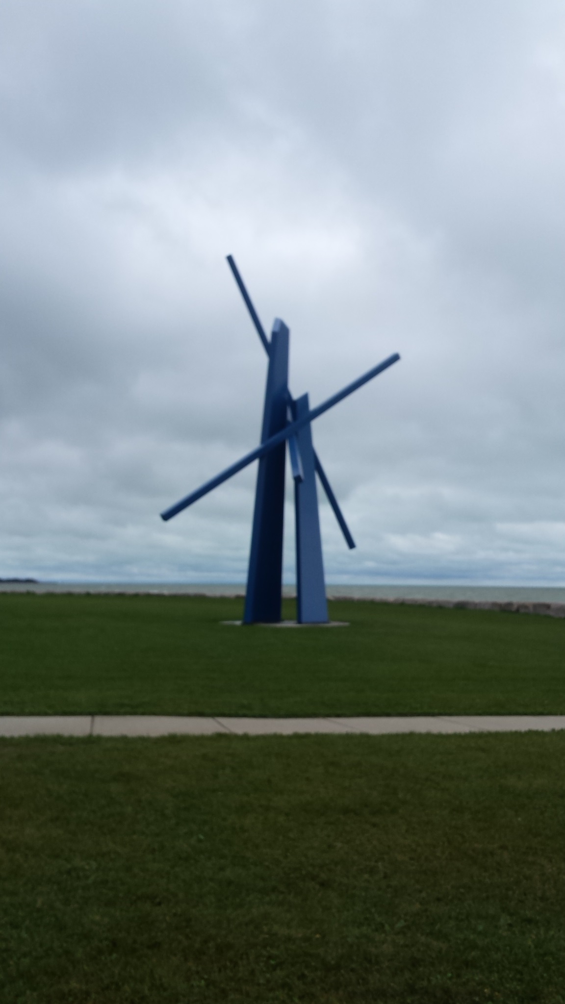
If you are ever in Chicago, try to take in
at least part of the CLFT. There ARE many
outstanding views and pictures are not as
good as being there
yourself!
Dates and sections:
-
9/30/2016
North Avenue northward to Ardmore
12 pictures, 2 videos -
10/1/2016
North Avenue southward to Monroe (Loop)
6 pictures -
10/2/2016
71st/South Shore northward to Monroe (Loop)
13 pictures -
10/2/2016
Chicago Riverwalk
1 picture
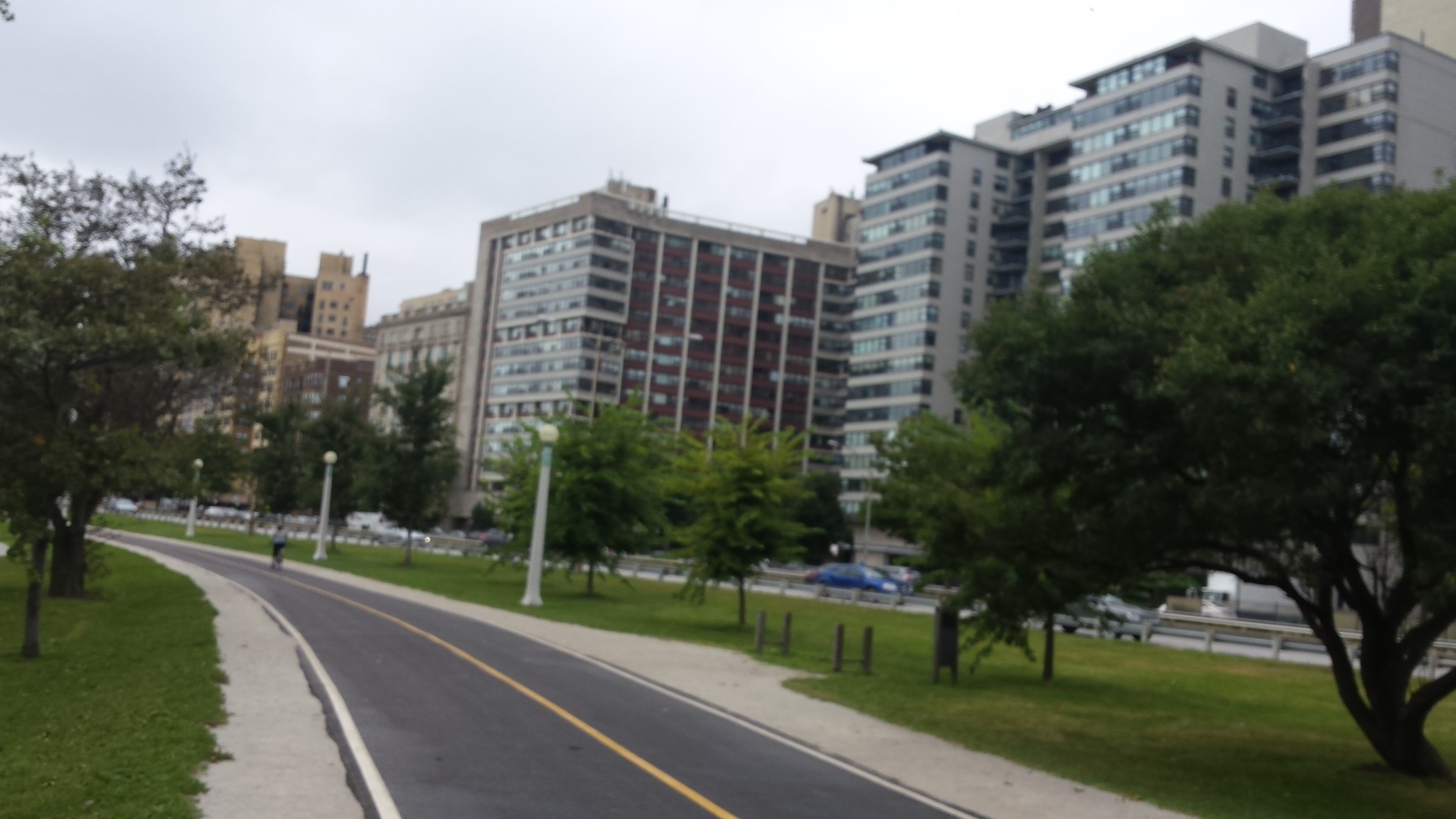
First day
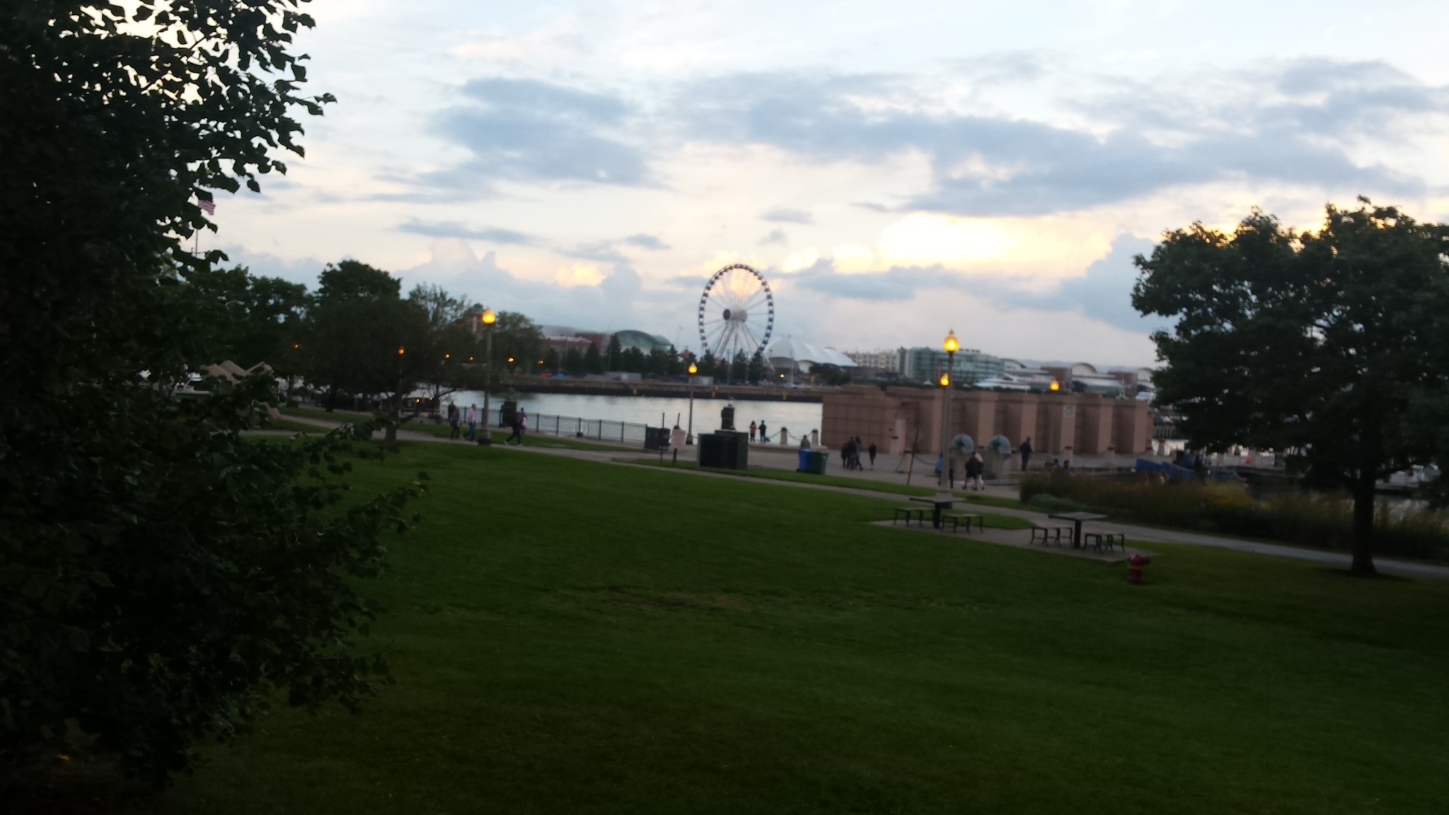
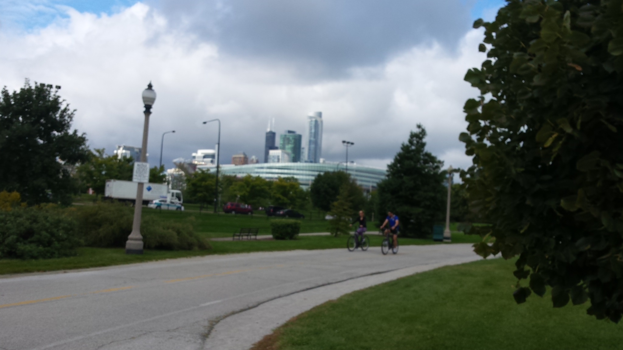
My first section of walking the entire Lakefront trail started at North Avenue walking north to Ardmore. This is 1/4 of the whole trail, 1/2 of the northern section.
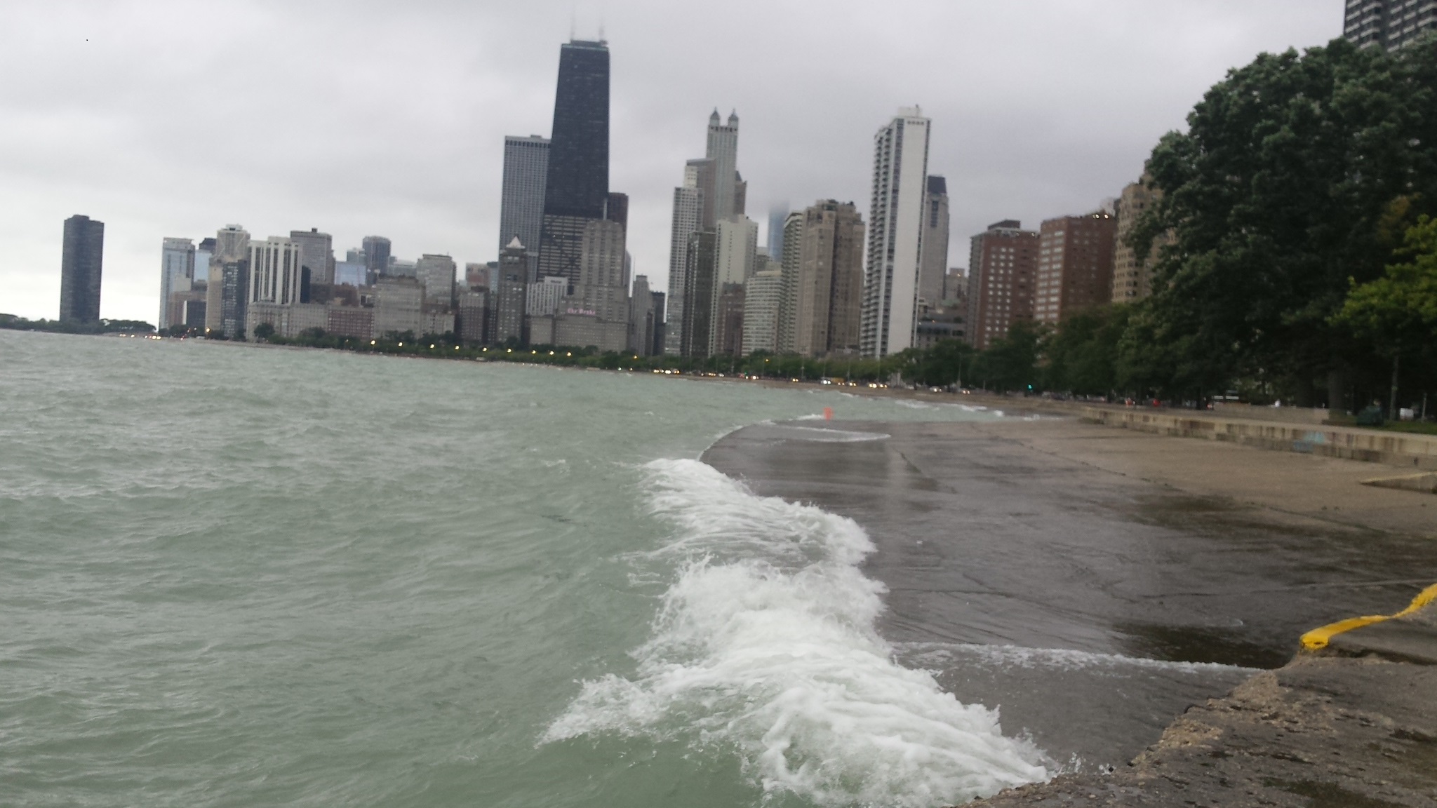

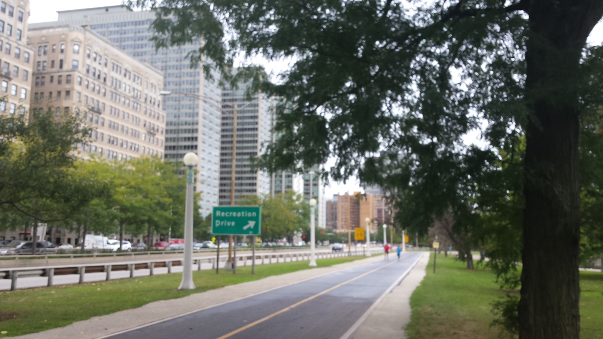
Recreation Drivesign got my attention. With LSD and buildings as a backdrop I just had to take a picture.

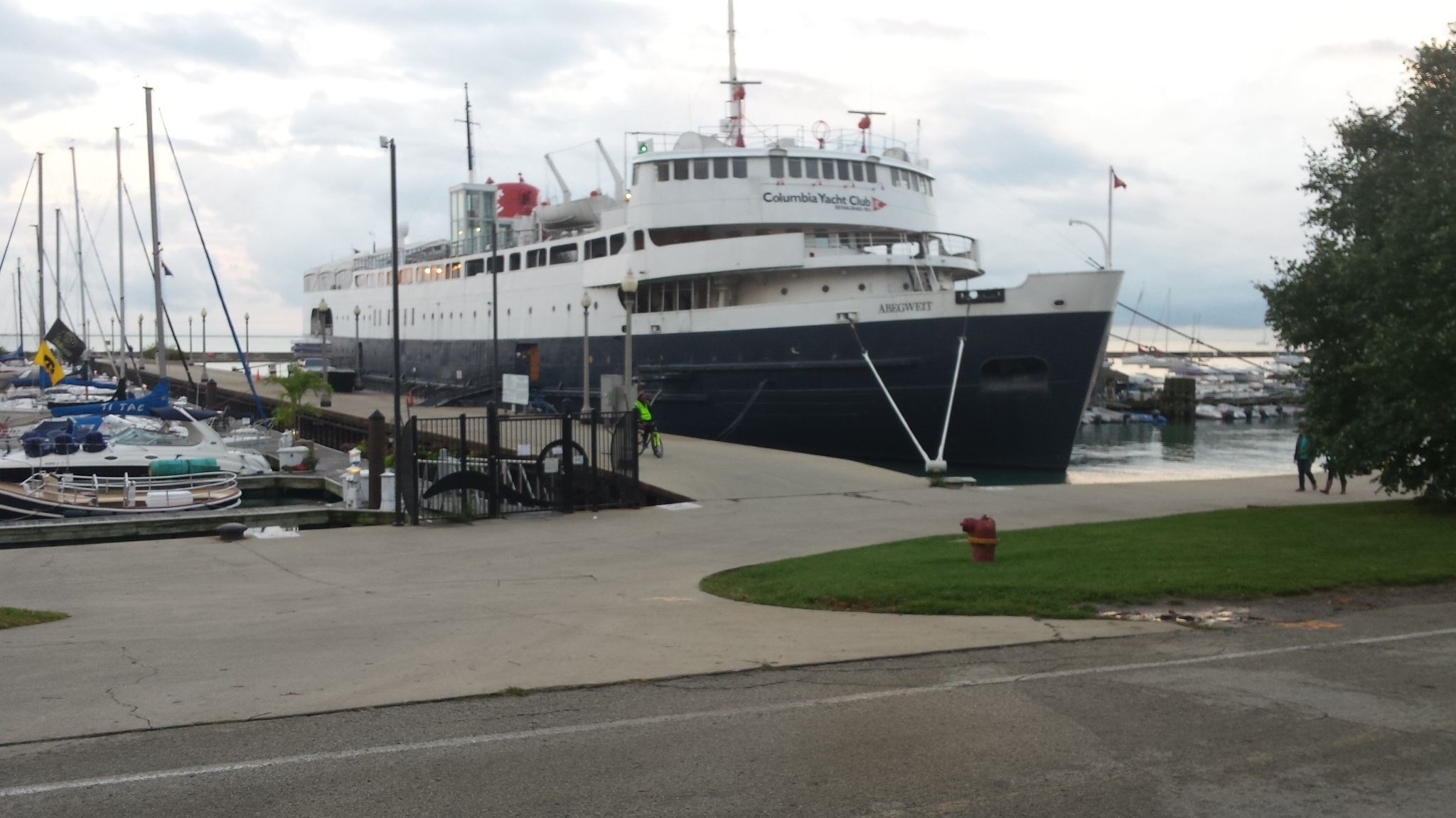
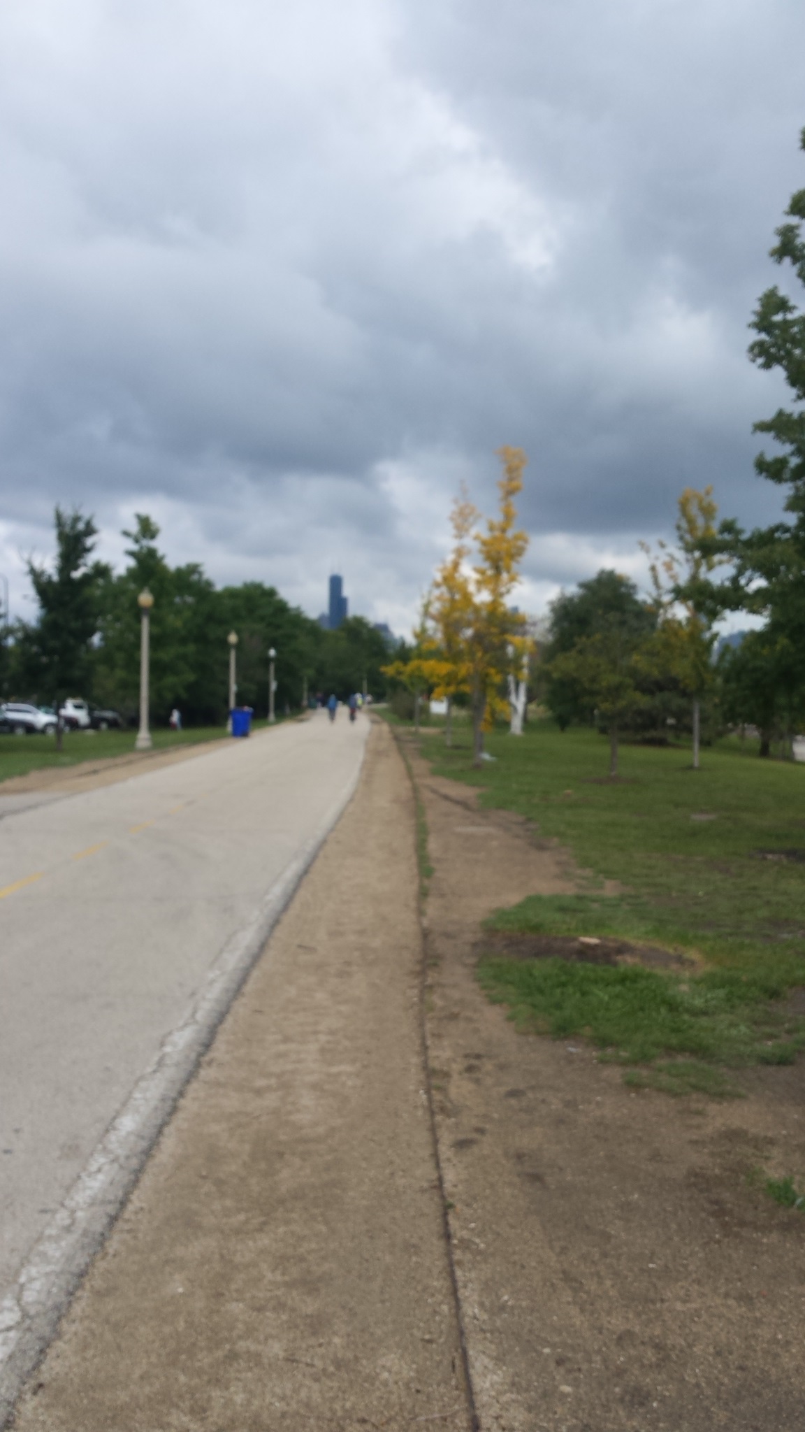
Second day
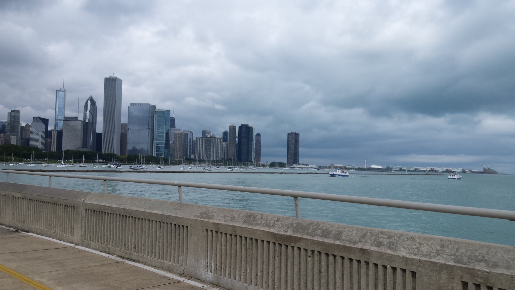
My second section of walking the entire Lakefront trail started at North Ave walking south to Monroe (downtown). This is 1/4 of the whole trail, the lower 1/2 of the northern section.
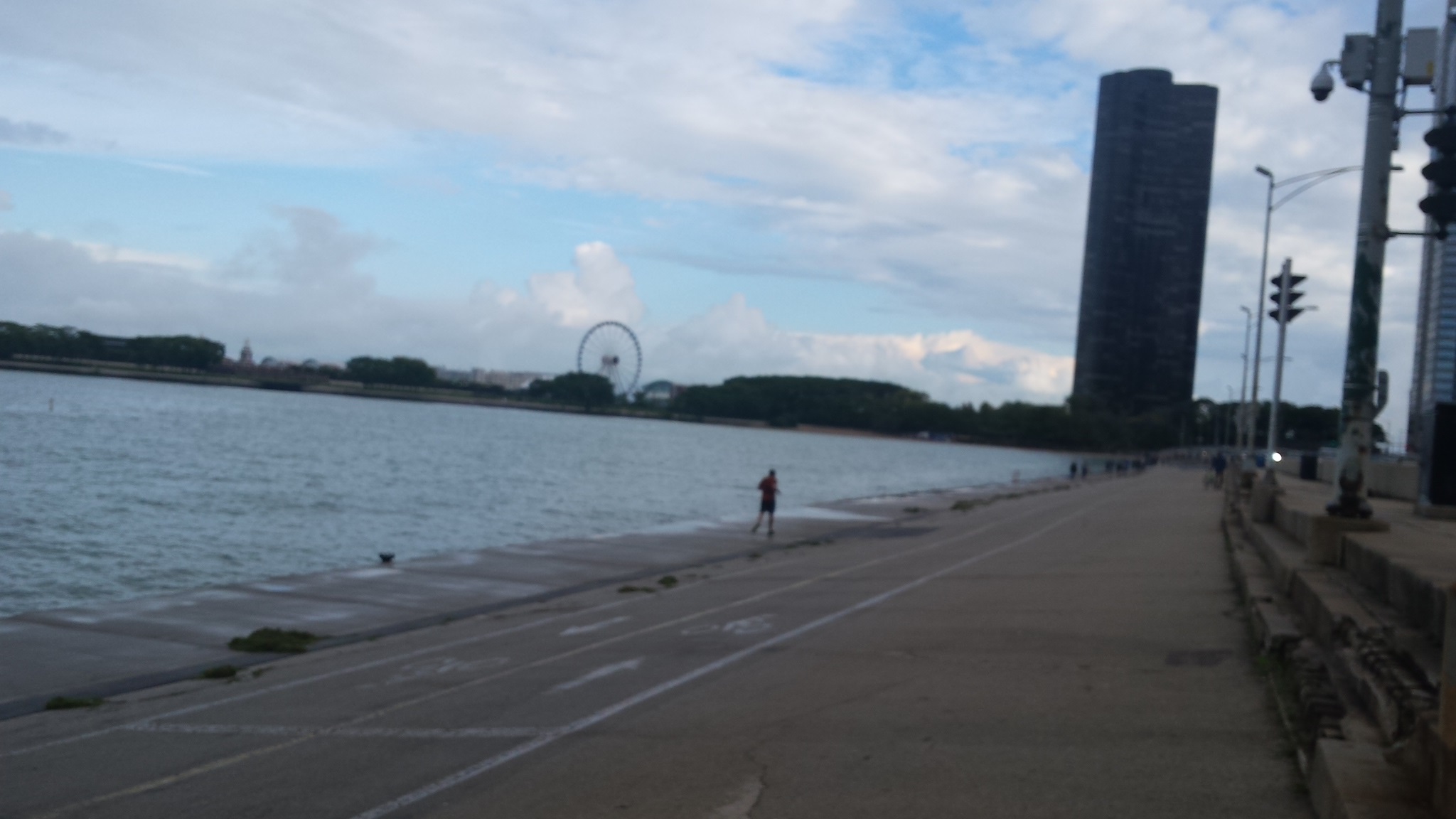
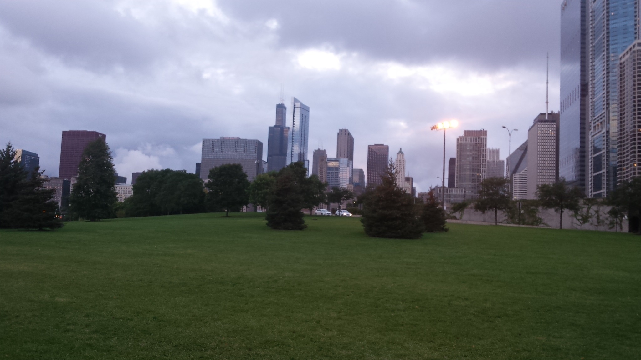
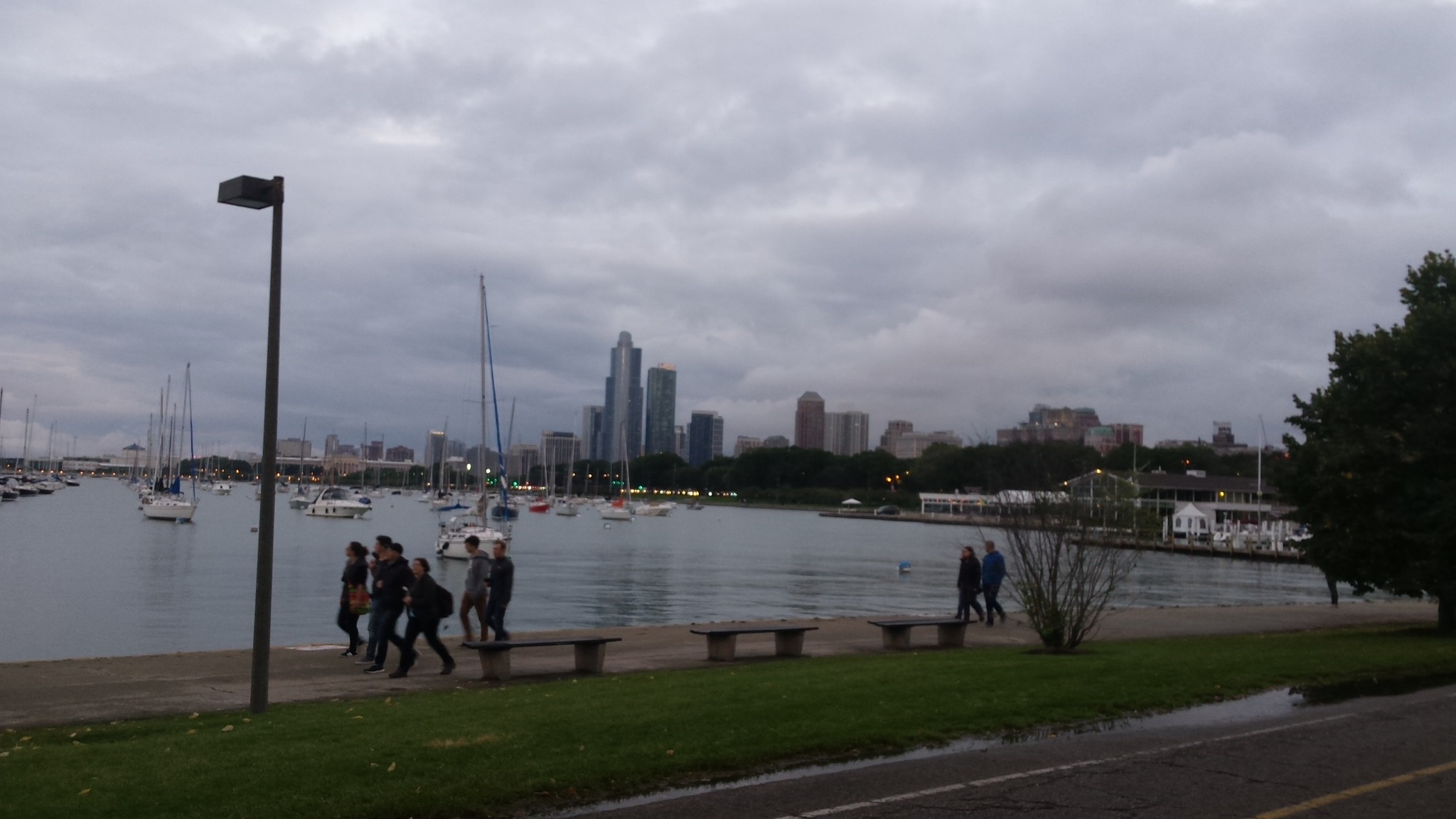
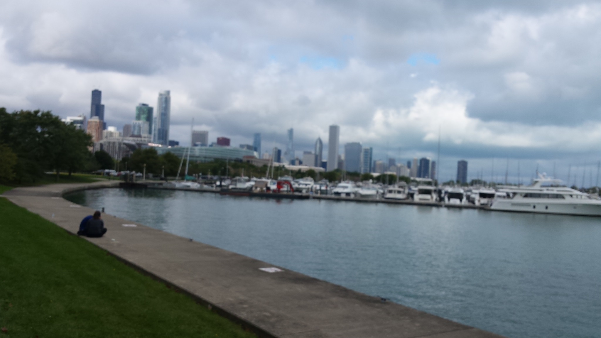
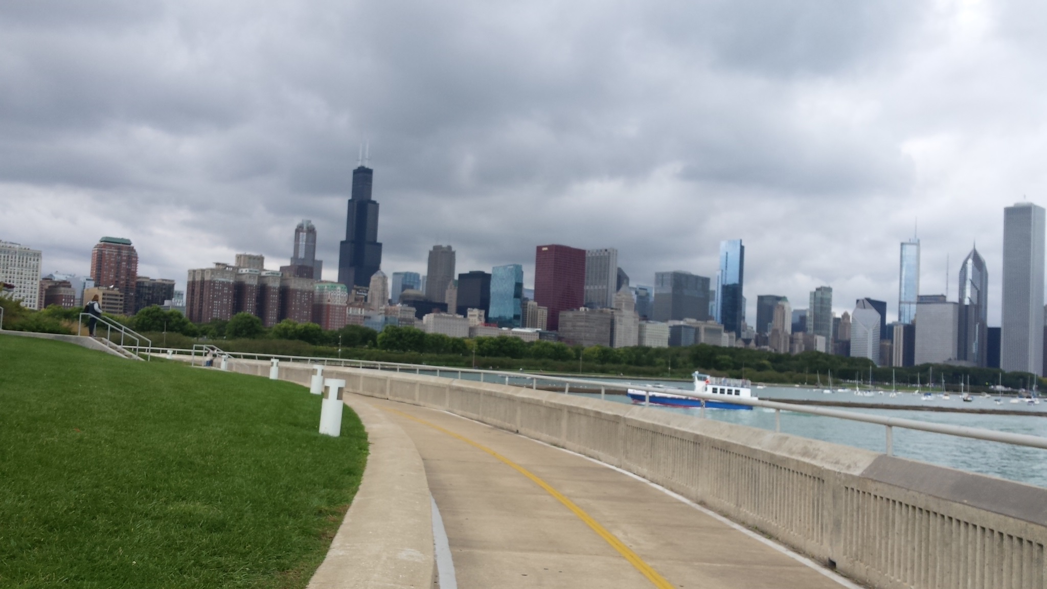
Third day
On the third day, I took a train to Hyde Park and walked to 71st Street and South Shore Drive where the Lakefront trail south end begins. From there I walked the 9 miles back to Monroe Street (in the Loop) where I had left off the night before. This is the entire southern section, 1/2 of the total CLFT.
This took me just over 4 hours, which includes several rest breaks and time taking the pictures.

Museum Of Science And Industrybuilding and dome. A great place to go but plan on spending the entire day to take most of it in. LSD is in the foreground hugging the CLFT.

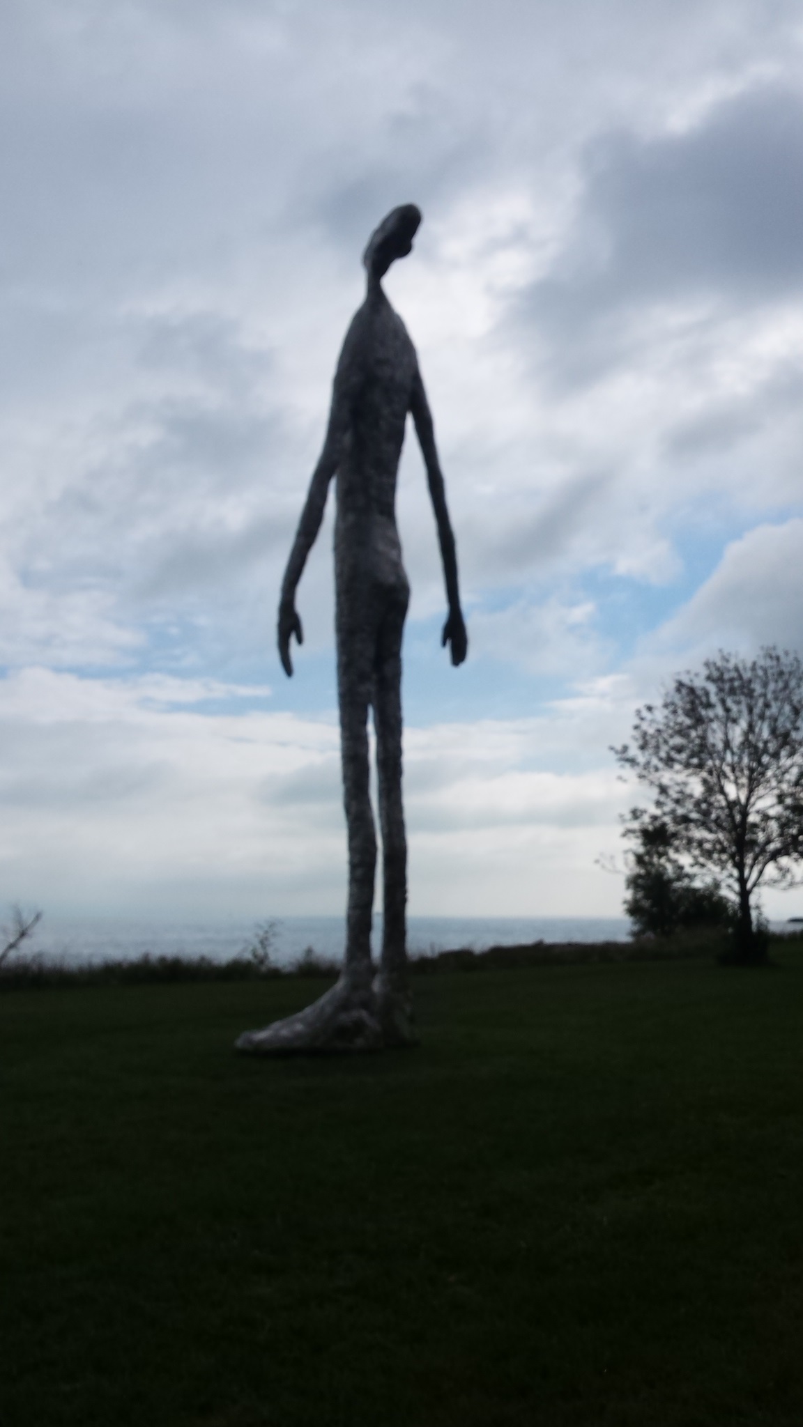
Man looking up. Whatever.
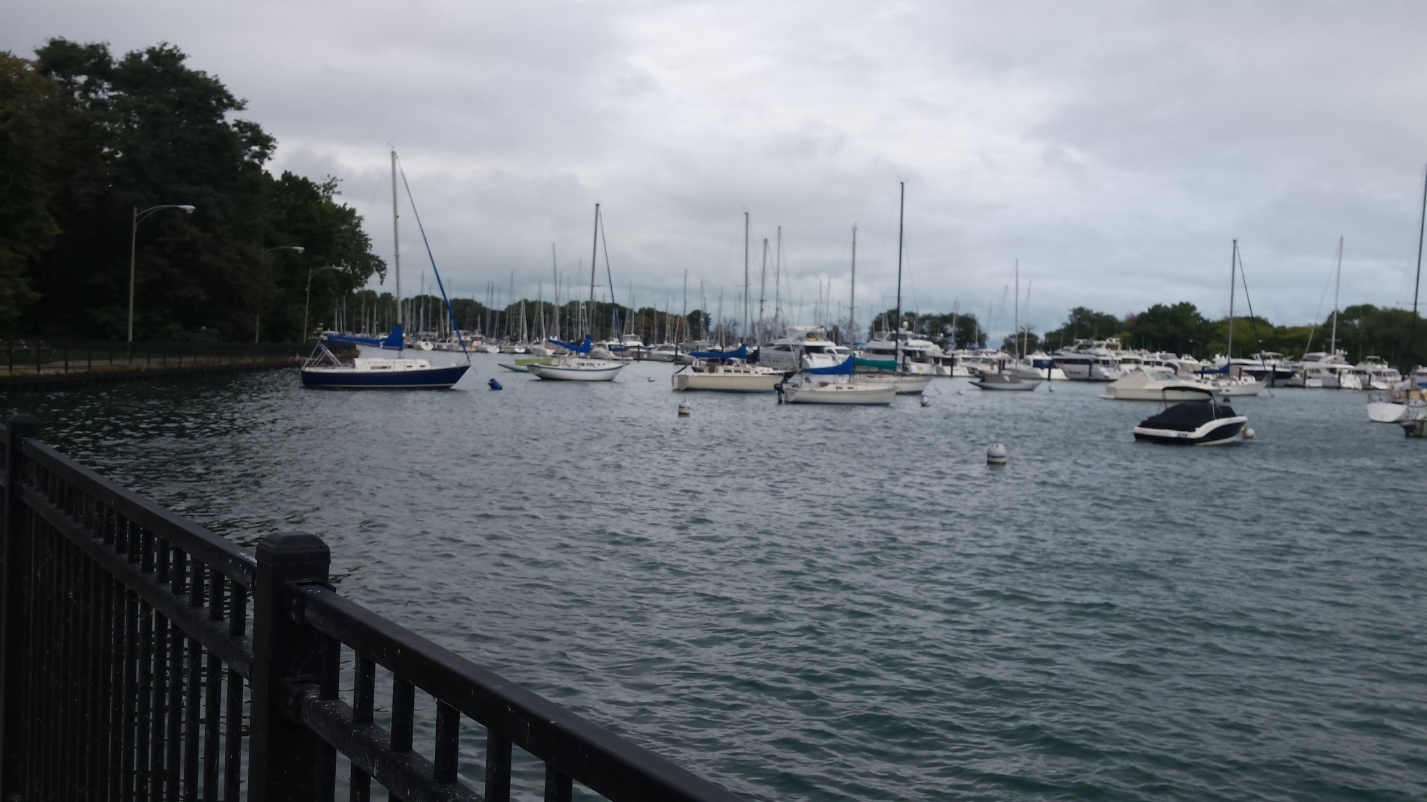
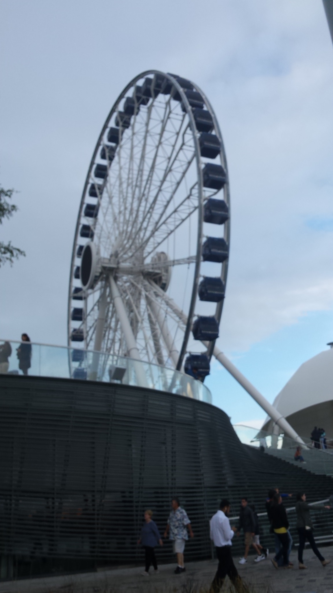
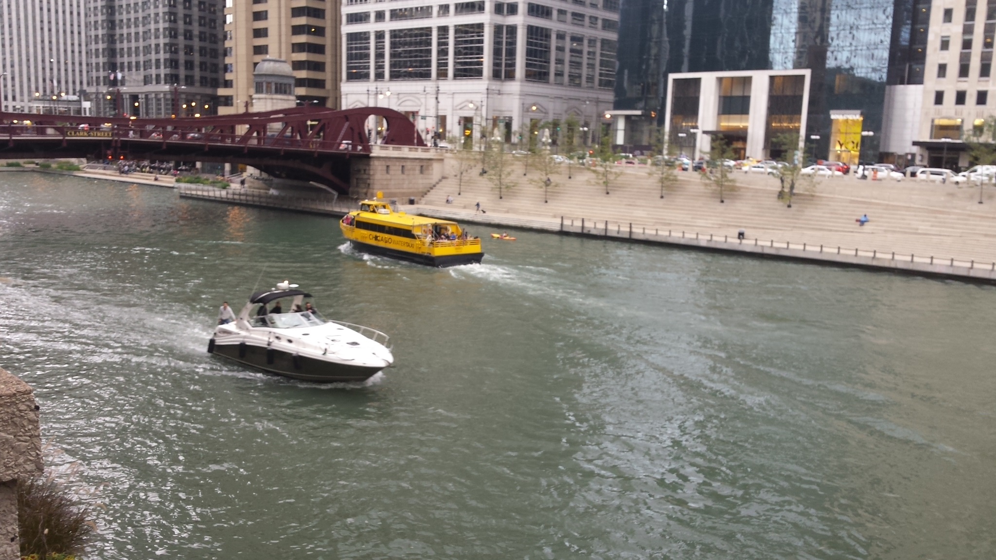
RIVERWALK
The Riverwalk
connects to the CLFT
at the south side where the Chicago River
meets Lake Michigan (just south of Navy
Pier). It is about 1 mile of paved path
along the Chicago River with areas of
seating and several concession stands.
It gets VERY crowded around lunch time on
weekdays as the skyscraper occupants spill
out into the outdoor.
While not a part of the CLFT, the Riverwalk is kind of an extension of it. I include it on this page because it relates.
Page last updated: October 06 2016 19:03:28.
Page visited: 1817
Terrys Place
Book, Motivation speaking, and Bullys
Facebook page
ICIC-ation YouTube channel
Vision and Driver/Bike/Pedestrian safety
Website design
Website programming and utilities:
© 2001-2025 Terry Erickson, All rights reserved.
Website layout and content:
© 2001-2025 Terry Erickson, All rights reserved.
Website hosting:

Proudly made in the USA!